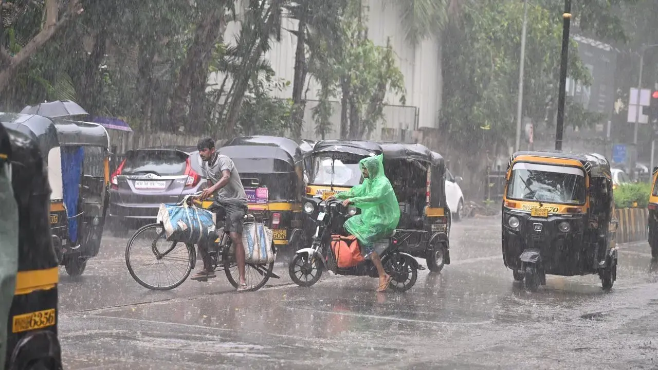
In its recent weather updates, IMD said that the Mumbai Metropolitan Region is likely to experience thunderstorms, accompanied by lightning, light to moderate rainfall and gusty winds around 50- 60 kmph at isolated places

Mumbai, Thane, and Palghar are likely to experience thunderstorms, accompanied by lightning, light to moderate rainfall and gusty winds around 50-60 kmph at isolated places. File pic/Atul Kamble
The India Meteorological Department (IMD) has issued a yellow alert in the Mumbai Metropolitan Region (MMR) for the weekend. Mumbai, Thane and Palghar are likely to experience thunderstorms, accompanied by lightning, light to moderate rainfall and gusty winds around 50-60 kmph at isolated places on Saturday and Sunday.
The Ratnagiri and Sindhudurg regions continue to remain under red alert, with the weather bureau predicting heavy to extremely heavy rainfall at isolated places.
The weather department said, a cyclonic circulation had developed over the Arabian Sea off the Karnataka coast around May 21.
A low-pressure area was formed around May 22 over the east-central Arabian Sea near Karnataka coast. As a result, heavy rainfall was recorded across Maharashtra in the past few days. The state will continue to experience heavy rainfall till May 25, particularly affecting Konkan and the ghat areas of Madhya Maharashtra. IMD has warned of heavy to very heavy rainfall at isolated places, with extremely heavy rainfall expected in parts of Pune, Alhyanagar, Kolhapur, Satara, Chandrapur, and Gadchiroli.
According to IMD, “Currently, the well-marked low-pressure area over east central Arabian Sea off South Konkan-Goa coasts is in a moderately favourable environment with low to moderate vertical wind shear, poleward outflow, and warm sea conditions. Further prevalence of equatorial waves including Rossby wave and Kelvin wave with strong westerly wind anomaly over south Arabian Sea (5 to 7 mps) and easterly wind anomaly over east central Arabian Sea (5 to 7 mps) is supportive for maintenance of intensity of the system. However, land interactions are slowing down the development of the system. Compared to previous runs, latest model guidance has withdrawn likely development of depression over the AS and indicated nearly north eastwards movement. The system is under continuous watch for further development. The potential for development of depression during next 24 hours is thus maintained as moderate.”
Precautions to be taken
• Avoid working in open areas and fields while thunderstorms are taking place.
• Avoid taking shelter under tall trees and structures when a thunderstorm is occurring.
• Unplug electrical/electronic appliances.
• Immediately get out of water bodies.
• Keep away from all objects that conduct electricity.
IMD advisory
• As there is a possibility of thunderstorm activity accompanied by gusty winds (30 to 40 kmph), lightning, and light to moderate rainfall, harvesting of matured crops should be done.
• Harvest the matured crops as early as possible and keep them in safe places.
• Provide support to young fruit plants and vegetables to prevent lodging.
• If threshing is not possible, the harvested produce should be covered properly.
• For protection from untimely rains, the stored grains should be shifted to safe storage.
• Avoid irrigation and any kind of chemical spray.
• Make arrangements to drain out excess rainwater from the fields.
• Cattle should be kept in safe places in cattle sheds. Keep farm animals indoors during thunderstorms and lightning
 Subscribe today by clicking the link and stay updated with the latest news!" Click here!


