Home / News / India News / Article /
Govt to mark Northeast borders using satellite imaging
Updated On: 02 August, 2021 08:41 AM IST | New Delhi | Agencies
The NESAC helps augment the developmental process in the Northeast region by providing advanced space technology support





Listen to this article :
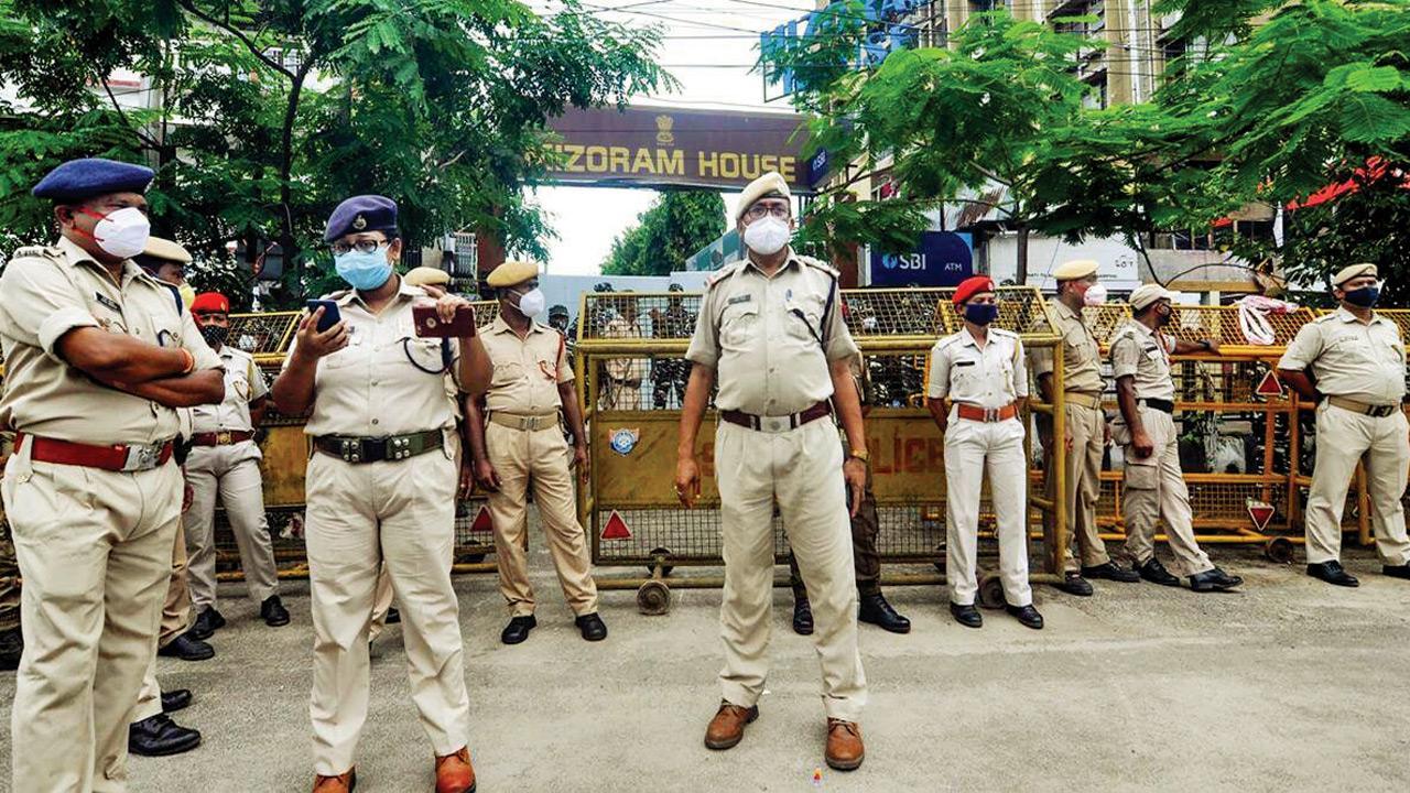
Cops stand guard outside Mizoram House in Guwahati. Pic/PTI
The Centre has decided to demarcate boundaries of the North-eastern states through satellite imaging to settle inter-state border disputes, which are often becoming a cause of concern and sometimes even leading to violence.
Two senior government functionaries said the task has been given to the North Eastern Space Application Centre (NESAC), a joint initiative of the Department of Space (DoS) and the North Eastern Council (NEC).
Trending Stories
Latest Photos
Latest Videos
Latest Web Stories
ADVERTISEMENT

Ganeshotsav 2026

ADVERTISEMENT