Using detailed maps, Swapna Liddle recreates Delhi’s ancestral avatar, Shahjahanabad, to paint a picture of a city that boasted smart town planning, inclusiveness and beauty

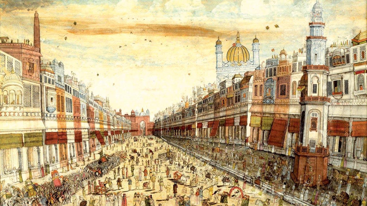
Faiz Bazaar, now known as Drayganj, by a Rajasthani artist, c 1840. Pics/Shahjahanabad: Mapping a Mughal City
Say what you want about Delhi, notorious as it is for lack of safety, politics and general pandemonium, what you can’t doubt is its beauty. Broad roads lined with expansive trees, rolling gardens, its street food, and the magnificent architecture—once home to the royals—make it fairy tale-like. And so this writer, an OG Delhiite, who has been living and falling in love with Mumbai for 17 years, couldn’t help but feel excited about a new book dedicated to the magical lanes of Shahjahanabad, colloquially called Old Delhi. It was founded as a walled city in 1648, when Shah Jahan decided to shift the Mughal capital here from Agra. Swapna Liddle, author and historian with a specialisation in the history of the city, is behind the title Shahjahanabad: Mapping a Mughal City, published by Roli Books. Using maps to examine the city, neighbourhood by neighbourhood, it explores the diverse communities and important landmarks. We spoke to Liddle to ask if what the maps reveal matches our imagination.
Excerpts from an interview.
Why is this book important?
It works on various levels. It tells us about what a Mughal city was, offering you an actual idea through the maps. It’s an insight into the past, and will have you realise that there is sufficient history there that needs to be preserved. Old Delhi is under threat, and much of its magic is going to disappear. I want to encourage people to try and preserve it.
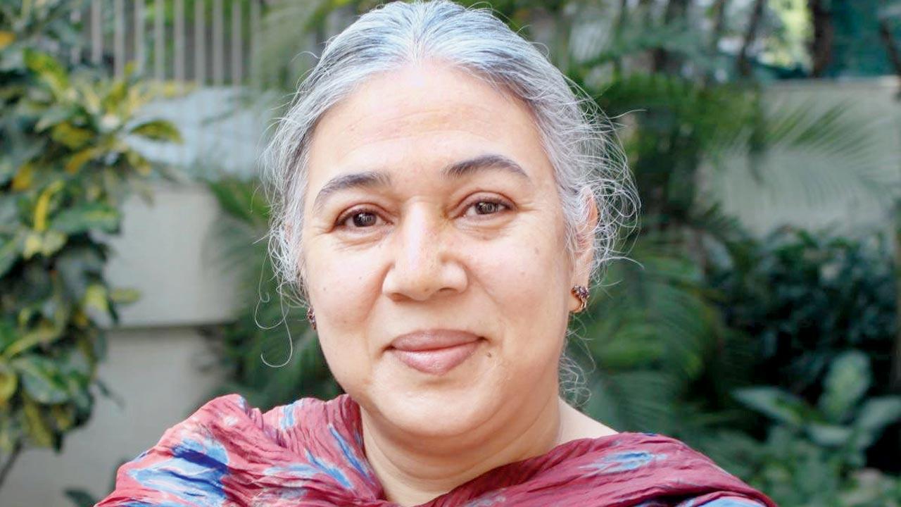
 Swapna Liddle
What role has Shahjahanabad played in how Delhi is structured today?
It all hinges on Mughal town planning. The imperial features including the wide roads, with the Red Fort and city walls at one end. But there was enough space for people to fan out, create their homes and places of worship. As the population grew and became varied, the city, too, evolved. There was no segregation.
Are Delhi’s mohallas, where people with a shared profession and background, live, a legacy of this planning?
To some extent, yes. People with same occupation shared resources and retail spaces. Also, when someone migrates to a new neighbourhood or city, you seek out your own. Even so, nothing was rigidly defined.
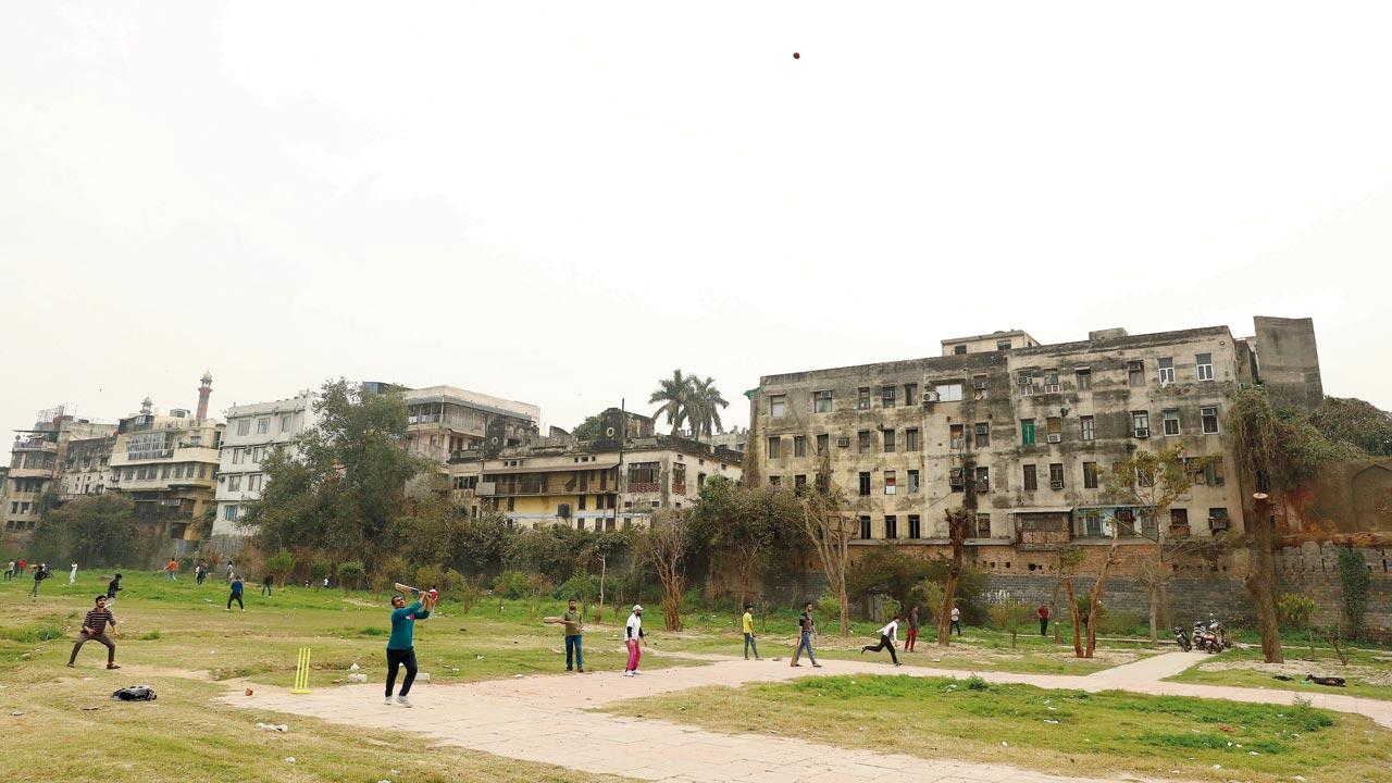
 Boys play cricket with the background dotted with the once lavish havelis of Daryaganj in February, 2023. Pic/Getty Images
In say, Dariba, or Kinari Bazaar as it’s known today, there were mandirs existing next to masjids, and Hindus and Jains owned property side by side.
That is a hallmark of Mughal polity... its inclusiveness. This is exactly what a Mughal city looked like.
What were some of the most interesting things you discovered as you researched the book?
I enjoyed learning—now there are no signs of it—about the water flow patterns and the canals that meandered through the streets and gardens. The estate of the nawabs of Awadh was expansive, and the water flowed through this estate. I went to see what is left of it, and only some name plates and a few gateways remain. Also, it had some interesting residents. Portuguese army man Manuel D’eremao, who fought in the Anglo-Maratha wars, settled here. He lived in a mansion called Man Mahal ki Haveli, after his name Manuel! Only a gateway remains where it once stood.
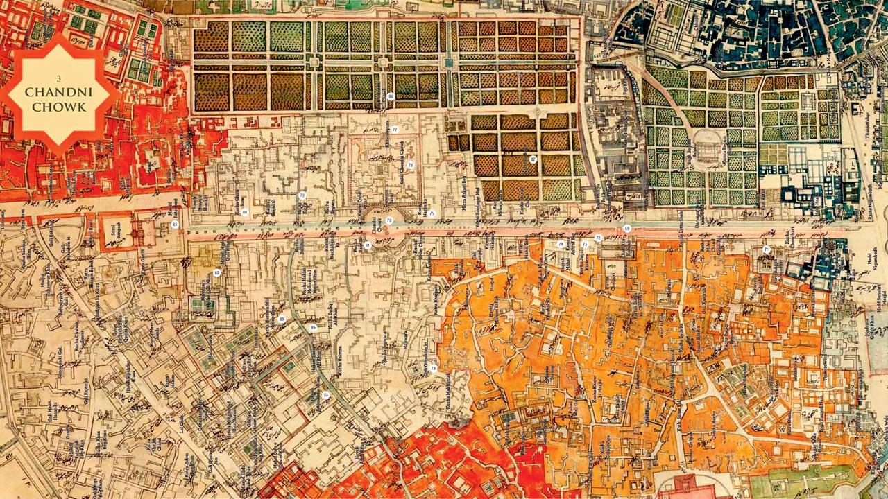
 The Chandni Chowk thana is the most spread out of all the thanas of the city. Its limits include the most important street of the city, running from Lahori Darwaza of the Qila to Fatehpuri Masjid at its western end
What was the final nail in the coffin for Shahjahanabad’s decline?
It was the making of New Delhi, and Indian independence. The time saw an influx of people, who needed shops and business establishments to be set up. Many of the havelis were transformed into shops. Since they stopped being residential spaces, the infrastructure was neglected.
How would you describe the Delhi of those times?
I think it was about intrigue and djinns. It also was very cosmopolitan. It was home to the Portuguese, the French and Armenians, the British... and of course, the Indians. There were poets, dancers, singers, and merchants who made it their home. Fact is often more exciting than fiction, and if someone decided to make a movie about those times, it would be appear as nothing but fascinating.
 Subscribe today by clicking the link and stay updated with the latest news!" Click here!


