According to MMRDA sources, the forest clearance proposal was recently submitted to the ministry. The project will require the diversion of approximately 0.8325 hectares of mangrove land for the construction of a link road connecting NH-4 (Mumbai–Pune highway) to Katai Junction in Thane district

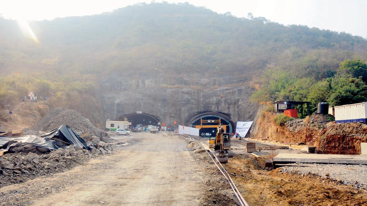
The under-construction Airoli Katai Naka project at Mumbra gateway on January 27, 2023. File Pic/Satej Shinde
There’s good news for motorists frequently stuck in traffic near Katai Naka in Thane. The Mumbai Metropolitan Region Development Authority (MMRDA), which is constructing the elevated road connecting Katai Naka to NH-4, has submitted a proposal to the Ministry of Environment, Forest and Climate Change seeking forest clearance.
The elevated corridor, spanning 6.71 km, aims to improve connectivity between Navi Mumbai, Kalyan-Dombivli, Ambernath, and Badlapur. MMRDA has already awarded the construction contract to Afcons Infrastructure Ltd. at a cost of R1982 crore. The six-lane (3+3) elevated road is expected to ease congestion and boost regional development significantly.
According to MMRDA sources, the forest clearance proposal was recently submitted to the ministry. The project will require the diversion of approximately 0.8325 hectares of mangrove land for the construction of a link road connecting NH-4 (Mumbai–Pune highway) to Katai Junction in Thane district.
Afcons is currently executing the design and construction of this elevated corridor, which includes a 6 km viaduct, a 100-metre railway overbridge (ROB) over the Indian Railways and DFCCIL corridor, 1.58 km of access ramps, and 6.32 km of service roads. The integrated project is expected to improve connectivity from Airoli to Katai Naka, thereby reducing travel time and easing traffic flow in the region.
Justifying the need for the project, the proposal states: “The population of the city has grown exponentially over the past few decades. The current infrastructural facilities are under severe stress. Roads, at key junctions, are clogged with vehicles, resulting in traffic jams during peak hours. This affects people’s movement across various parts of the city and indirectly hampers business and commerce.”
At present, commuters often take a longer route via Mahape to reach Shilphata and then proceed to Kalyan, Dombivli, Badlapur, and other areas. With traffic volumes increasing on this stretch, MMRDA decided to construct a direct elevated road from NH-4 to Katai (near the toll naka on Kalyan-Shil Road) to reduce travel distance and ease traffic congestion.
Since the proposed alignment passes through mangrove land and creeks in the villages of Desai and Katai before entering an urbanised area, the corridor will be constructed as an elevated road in these sensitive stretches to minimise environmental impact.
The elevated road will start from NH-4 and continue via a combination of elevated sections and embankments up to Katai on the Kalyan-Shil Road. Additional links to NH-4 and surrounding areas will also be developed to improve regional accessibility.
 Subscribe today by clicking the link and stay updated with the latest news!" Click here!


